Red Bay

Labrador Map | Home
red bay 1.jpg (39128 bytes)

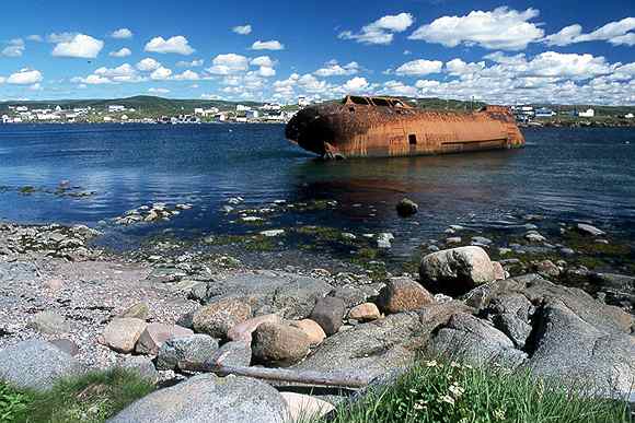
Red Bay has a thriving tourist industry due to the Basque whaling site. This used to the northern end of the coastal road before it was extended to Cartwright and into Quebec.

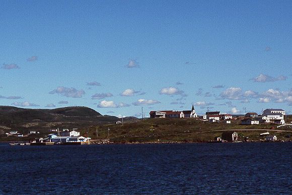
The wharf on the left is  exposed to the SW and is very bouncy in even a moderate wind. An alternative is to anchor NW of Penney Island in The Basin or in nearby Western Arm.

RedBay 2.jpg (39572 bytes)

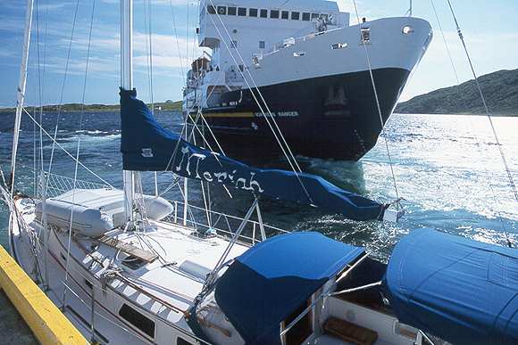
Northern Ranger coastal ferry.

It looked like she was going to raft on Meriah but I had checked with the locals and there was room for both of us.

The ferry still serves Labrador communities as far north as Nain.

red bay 3.jpg (39654 bytes)

A 16th century Basque whaling ship was discovered near this modern hulk. She was raised piece by piece to be catalogued and then re-sunk to maintain the preservation.

red bay 4.jpg (39238 bytes)

This is Saddle Island where the remains of a 16th century Basque whaling settlement were found. You can cross by small boat from the town of Red Bay. A path round the island takes you to the various sites with interpretive plaques.

Labrador Map | Home