Ramea Island

Newfoundland Map | Home
ramea-1.jpg (39546 bytes)

Ramea is about 5 miles off the south coast and is a group of islands. The town of Ramea used to be a thriving fishing community and still has a population of about 1200.

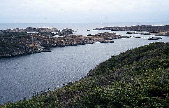
This is the west entrance to the harbour

ramea-4.jpg (45245 bytes)

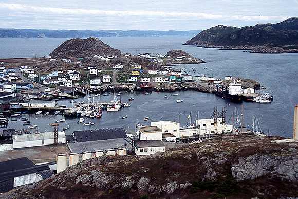
The town of Ramea is on NW Island.

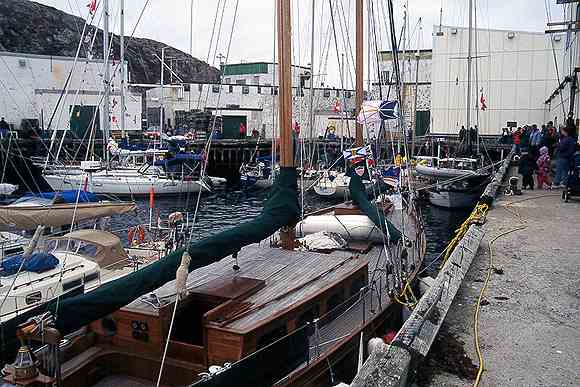
The harbour has some wharf space but the big wharf is reserved for the ferry. The buildings in the forground are a disused fish plant. 

ramea-2.jpg (39052 bytes)

In most communities the flotilla made use of wharf space at the fish plant. There was sadly not much fishing boat activity. The wharves were always thronged with people looking at the boats.

In one community, an elderly man told me, with tears in his eyes, that he hadn't seen so many sail boats in the harbour since the days of the schooners.

ramea-3.jpg (39801 bytes)

Ramea has few roads but here is the firetruck converted from a dump truck. It is being used as a platform for the welcoming speeches.

The school kids were given the day off for our arrival. In the evening we were invited to a show with songs and sketches written specially for the flotilla.

Newfoundland Map | Home