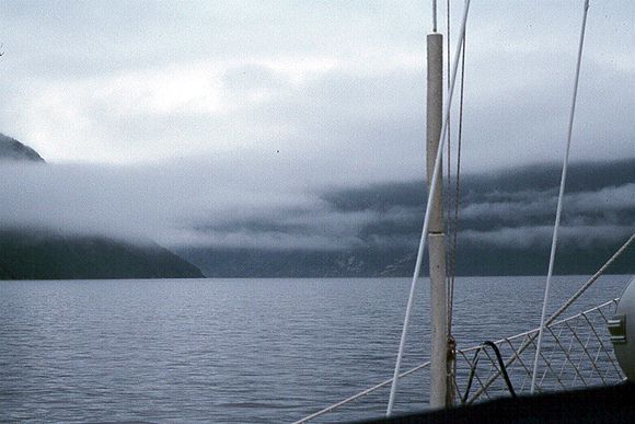
Northern Peninsula

Back to Newfoundland Map List Newfoundland Photos Page 1 of 1
cat arm.jpg (38947 bytes) Great Cat Arm

This is a deep fiord on the east side of the northern peninsula. It was here I had my first experience of the "Blow Me Downs"

I was woken in the middle of night with the wind about 15 knots, gusting 45. The wind accelerates down the fiord and gusts far above the prevailing conditions.
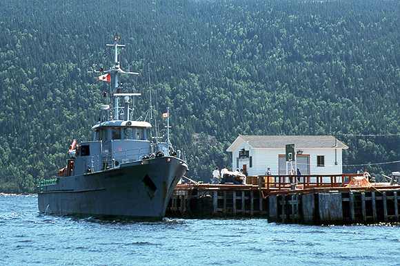
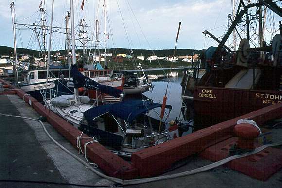
Harbour Deep

Another of these landlocked outports, population about 250. This is the local ferry.

harbour deep.jpg (40004 bytes)
Englee 1.jpg (39025 bytes) Englee

The harbour is split in two by a canal. This is a very convenient town to get supplies or have a restaurant cooked meal.

St Anthony

This town is the regional center for the northern peninsula and the government wharf was very busy because of the thriving shrimp fishery.

Meriah was quickly hemmed in between fishing boats but everyone is good humored and they do their best to fit you in. The harbour is a good anchorage.

St Anthony.jpg (39701 bytes)
Back to Newfoundland Map List Newfoundland Photos Page 1 of 1