North Labrador Coast

Page Down Page Up Back to Thumbnails Newfoundland Map List Labrador Photos Page 1 of 2
62.jpg (38580 bytes) 
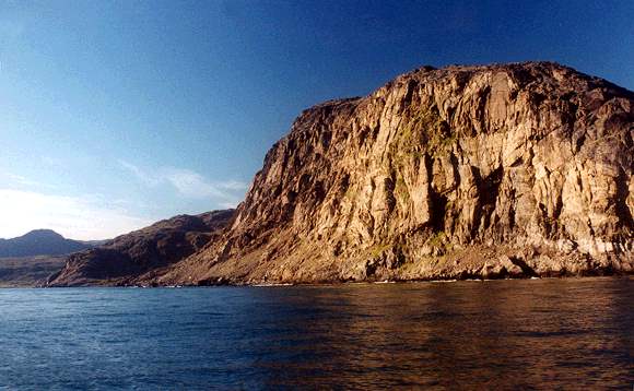
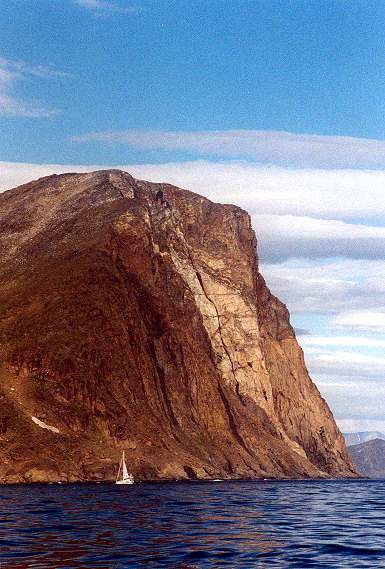
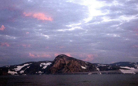
Cape Chidley as it appeared in the early morning after I completed the 3-4 day crossing from Nuuk Greenland in 2000. This is a challenging area to sail, with strong currents, high tides and sometimes sea ice as late as August.

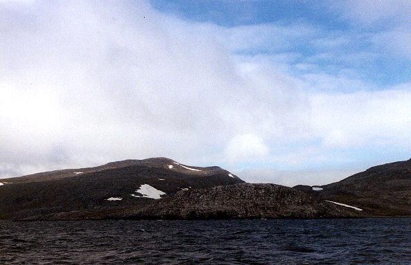
You must follow the track carefully round North Star and Argo Islands.

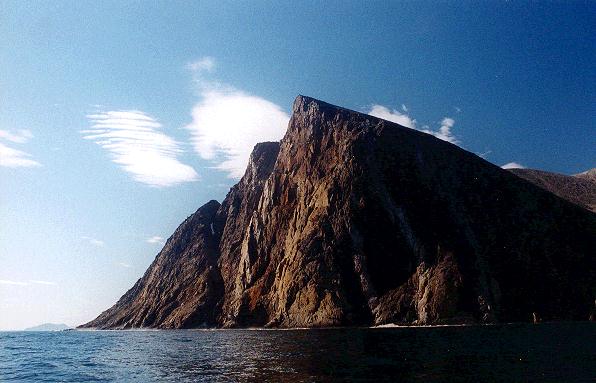
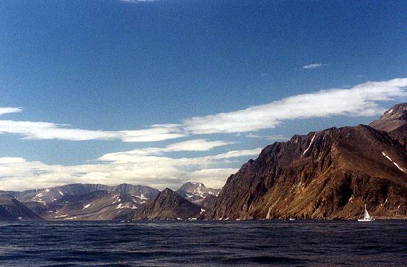
Cape Chidley is actually on Killinek Island separated from mainland Labrador by the McLelan Strait which has a fearsome reputation for strong tidal currents.

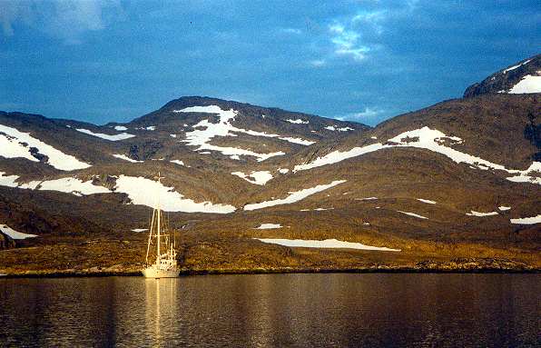
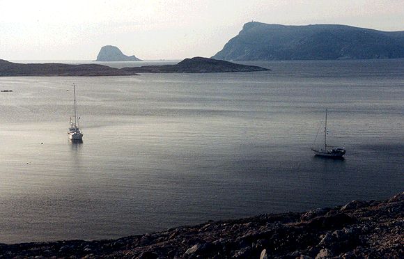
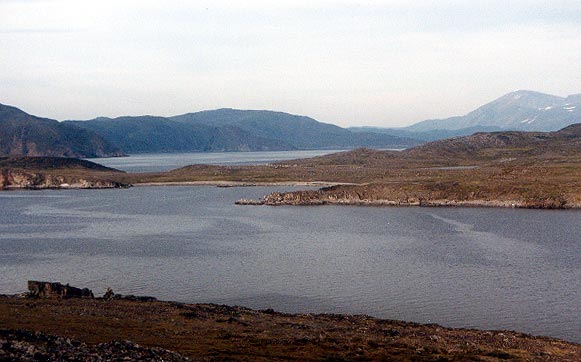
There is a good anchorage in the bight on the south side of Cape Labrador where there is an anchor symbol on chart 4773. No soundings on the chart but good depth all the way in.

63.jpg (36871 bytes)
64.jpg (39251 bytes) Bowdoin Harbour on Killinek Island just south of Cape Chidley.

Belvedere was waiting with a wonderful welcome and a hot breakfast when Meriah dropped anchor after the passage from Greenland.

There is a detail of Bowdoin on chart 4773. Anchor in the longest bay on the south side.

Martin Bay south of Cape Chidley.

Not a very good photo but I included it because this is the site of the WWII Nazi automatic weather station. The remains can  still be seen on the southern tip of Hutton Peninsula.

Unfortunately conditions were not suitable for me to anchor and go ashore.

65.jpg (38166 bytes)
Page Down Page Up Back to Thumbnails Newfoundland Map List Labrador Photos Page 1 of 2