Hopedale

Labrador Map | Home
hopedale 5.jpg (39432 bytes)

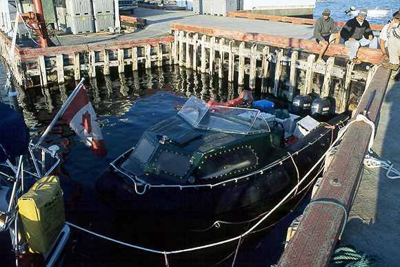
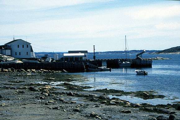
This is the east wharf next to the main part of the town. It is small but deep. The west wharf is used by the ferries and is better for getting fuel.

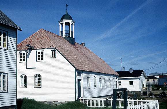
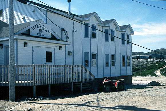
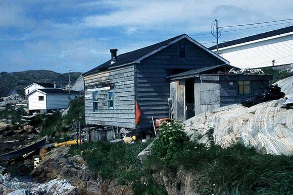
None of the coastal towns in Labrador could be described as "pretty" but Hopedale is the nearest to that description.

hopedale 6.jpg (39785 bytes)

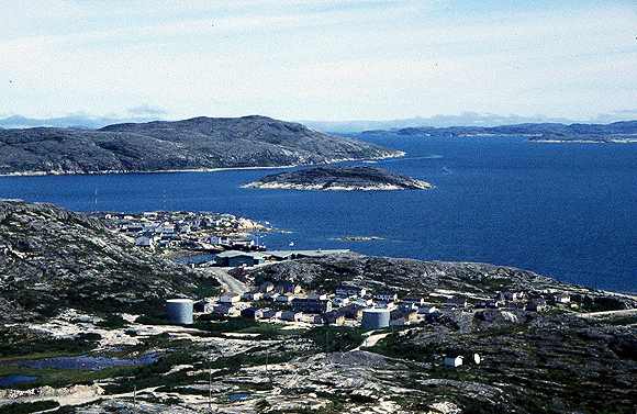
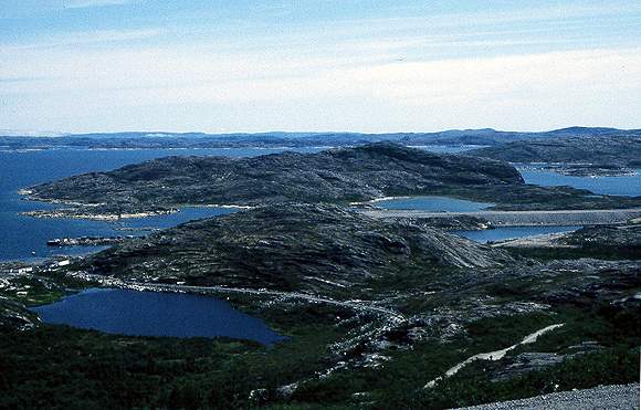
Looking across the east side of the town to Hopedale Run.

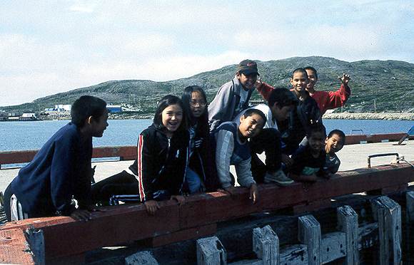
Hopedale has a largely Inuit population and I found the people very friendly and helpful.

hopedale 7.jpg (39784 bytes)

The west wharf is visible on the left side of this photo. It was built originally for the American military stationed at the DEW line early warning station above the town. It has been converted to roll-on-off for the coastal freighters. The fuel station is close to this wharf.

The air strip is visible running off the right edge.

hopedale 8.jpg (39744 bytes)

All that is left of the DEW line early warning station. These concrete foundations are massive. The huge domes must have been quite a sight in this wilderness area.

hopedale 9.jpg (39453 bytes)

This is the Moravian Mission established in 1871 and still in use. The building is well preserved. Well worth a visit to learn about a fascinating aspect of Labrador's history.

You can have a guided tour by asking at the town office. In 1999 they are in the process of establishing items in a museum.

Apparently a brass band used to play in the cupola on top of the building!

hopedale 4.jpg (39747 bytes)

A brand new school finished in 1998.

I asked about the ratio of Inuit to "settlers' and was given figures from 50% to 90%.   Many of the people don't look Inuit but have enough Inuit blood to claim status.

hopedale 3.jpg (39606 bytes)

A brand new hotel and bar.

This is the only place to get an alcoholic drink in Hopedale. It is not sold for home consumption.

Most towns which have an airstrip also have a hotel. Apart from tourists there needs to be somewhere for government officials and hydro workers etc to stay.

hopedale 2.jpg (39841 bytes)

This house is owned by a couple who befriended me and offered me a bath. It looks like basic accommodation but is very comfortable inside.

The tide comes right up to the edge of the grass.

hopedale 1.jpg (39742 bytes)

Inuit children on the wharf, I invited them onboard for a look around

hopedale 12.jpg (39981 bytes)

This strange craft was owned by a couple of prospectors who were working the coast looking for minerals.

Ever since the Voisey Bay nickel find there have been lots of other prospectors looking for the big strike.

hopedale 10.jpg (39746 bytes)

Huskies tied up for the summer. They have shelter and access to fresh water.

It used to be common to abandon dogs on small islands for the summer but this can lead to people who visit the island being attacked

hopedale 11.jpg (39712 bytes)

Hopedale airfield looking towards the east wharf. The temperature on this day was 30 deg C, very hot for mid Labrador.

I had a part for my windless flown in from Vancouver to this airstrip. It took about five days.

Labrador Map | Home