Cut Throat Island

Labrador Map | Home
18 Cuthroat.jpg (49920 bytes)

Cut Throat Harbour on the south side of the island is exposed to the south west but is a good anchorage otherwise. 

There is a good detail on chart 5042.

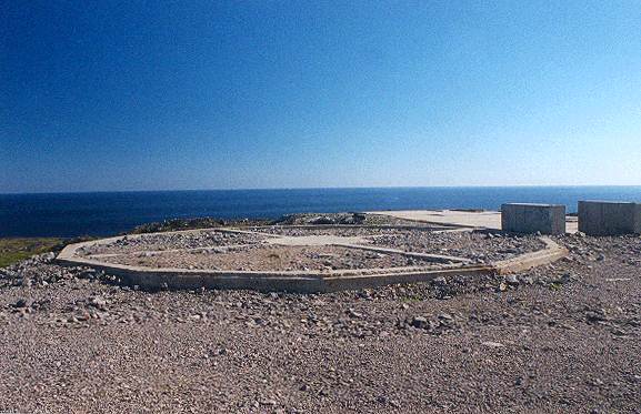
In the left corner of the photo you can see the start of a road which runs up to the old radar site.

20 Cuthroat.jpg (49479 bytes)

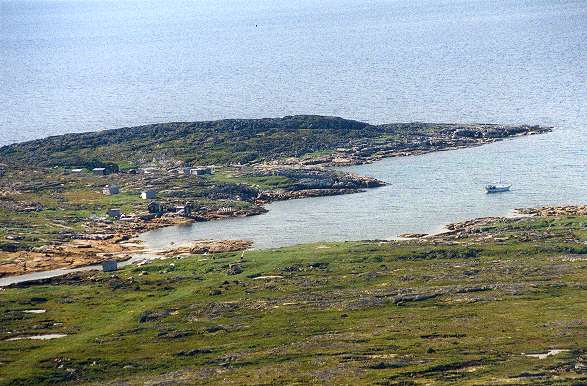
Another deserted community on the island.

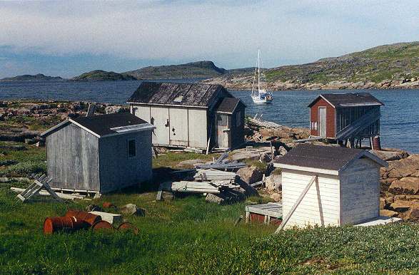
This one was a summer fishing  community only. No signs of a church or school.

16_Cuthroat.jpg (49976 bytes)

This is all that remains of the "Pinetree Line" early warning radar station on the top of the island. It makes an interesting walk to look for signs of the old installation. The site was operational for only four years until 1961.

01 Cuthroat.jpg (45795 bytes)

This damn was built to provide a water supply for the radar site. It is still in excellent condition.

There is a very interesting website all about the Pinetree Line radar sites at  Pinetree Line This particular site is featured at Cut Throat

Labrador Map | Home