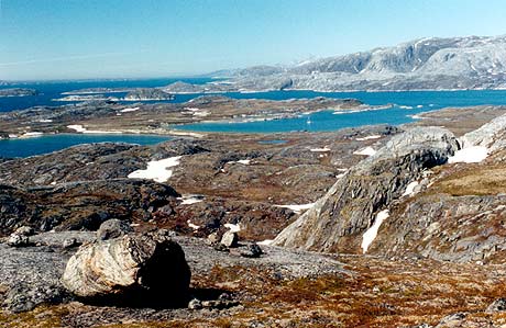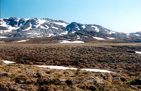
The land is mainly very barren and rough to walk on with spongy mounds of tundra.
This is the hill behind the anchorage - 287m high.
Buksefjord
| Page Down | Page Up | Back to Thumbnails | Greenland Map | List Greenland Photos | Page 2 of 3 |
|
I
couldn't wait to get ashore and do some hiking.
The land is mainly very barren and rough to walk on with spongy mounds of tundra. This is the hill behind the anchorage - 287m high. |
| In
many areas there were still snow drifts at the end of June. I assume there
would be far fewer by the end of August.
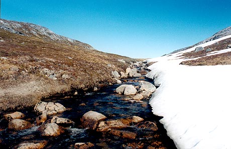
I used either leather or rubber boots depending on the conditions. |
 |
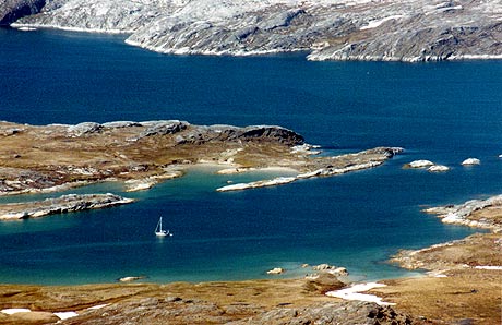 |
Looking
north towards the Buksefjord.
The water really is that colour. |
| Page Down | Page Up | Back to Thumbnails | Greenland Map | List Greenland Photos | Page 2 of 3 |